
Fall Color Drives by Home Base: Which Wasatch Front Canyon Is Closest in 2026
Which Wasatch Front canyon drive sits closest to each city, when the seasonal gates close, and which stops need a recreation pass in 2026.
Utah's fall color does not last long. Maples in the lower canyons usually turn first, aspens on the high ridges follow, and the first serious storm can strip the trees and close a mountain pass in the same weekend. For anyone who just moved to the Wasatch Front, or who is still deciding which city to call home, the more useful question is not "where are the leaves?" but "which drive can be reached on a Saturday morning from this neighborhood, and is the road still open?"
The answer depends heavily on where a household lives. Each major canyon drive has a natural home base, its own seasonal gate, and in some cases a recreation fee. Below, the best-known routes are grouped by the city that sits closest to their starting point, with the rules that trip up first-time visitors.
How the Color Window Works
Elevation sets the calendar. The Utah Office of Tourism notes that color starts at the highest elevations around mid-September and wraps up across most of the state in early October. Canyon maples, scrub oak and serviceberry provide the reds and oranges at mid-elevations; quaking aspens provide the gold higher up.
The 2026 season came with a caveat. In his annual forecast, KSL meteorologist Matt Johnson expected maples to peak in mid- to late September and aspens in early to mid-October, but warned that the poor 2025–26 snowpack could produce drought stress, duller pigments and early leaf drop in some areas. He also noted that the highest elevations, where soil moisture held up best, were the most likely to show strong color. In practice, that means a drive that looked thin at the bottom of a canyon can still be worth finishing at the top.
Utah County: The Alpine Loop and the Nebo Loop
Alpine Loop (SR-92), starting from American Fork
Residents of American Fork, Highland and Alpine sit closest to the most famous fall drive in the state. SR-92 begins at the mouth of American Fork Canyon around 5,000 feet, climbs to a crest near 8,000 feet, and then drops toward Sundance and Provo Canyon (US-189). Drivers can return to the valley through Provo Canyon, which turns the trip into a true loop.
- Fee: Driving straight through is free. Stopping at a developed site (picnic areas, trailheads, Timpanogos Cave parking) requires a recreation pass. The Uinta-Wasatch-Cache National Forest lists $10 for three days, $20 for seven days and $60 for an annual pass, and America the Beautiful passes are honored.
- Vehicles: Trailers are prohibited because of steep grades and narrow, blind curves.
- Parking: Park only in designated areas, with all four tires off the pavement. In early October 2026, UDOT added signs warning that illegally parked vehicles could be ticketed and towed, after the Utah Highway Patrol had to close the loop in a previous season when parked cars blocked traffic.
- Closure: The Forest Service notes the road typically closes around November 1. In 2025 UDOT scheduled the closure for November 3.
On peak weekends the loop can move at a crawl. A weekday morning or an early start on Saturday makes a noticeable difference.
Nebo Loop, starting from Payson
South Utah County households have a quieter option. The Mount Nebo Scenic Loop runs about 38 miles between Payson and Nephi through the Uinta National Forest, climbing above 9,000 feet. Stops include the red sandstone amphitheater at Devil's Kitchen and several overlooks facing Mount Nebo.
One detail matters for trip planning: the Nebo Loop is not a state highway, so UDOT's seasonal-road announcements do not cover it. Nephi City describes it as closing for winter from late October, and the Forest Service's Spanish Fork Ranger District is the place to check current gate status.
Salt Lake County: Big Cottonwood Canyon and Guardsman Pass
For households on the east bench, especially in Cottonwood Heights, Big Cottonwood Canyon (SR-190) starts minutes from home. The canyon climbs past Solitude to Brighton, and just below Brighton the Guardsman Pass road turns north and crosses the range. From the top, drivers can descend to Park City on SR-224 or to Midway through Pine Canyon.
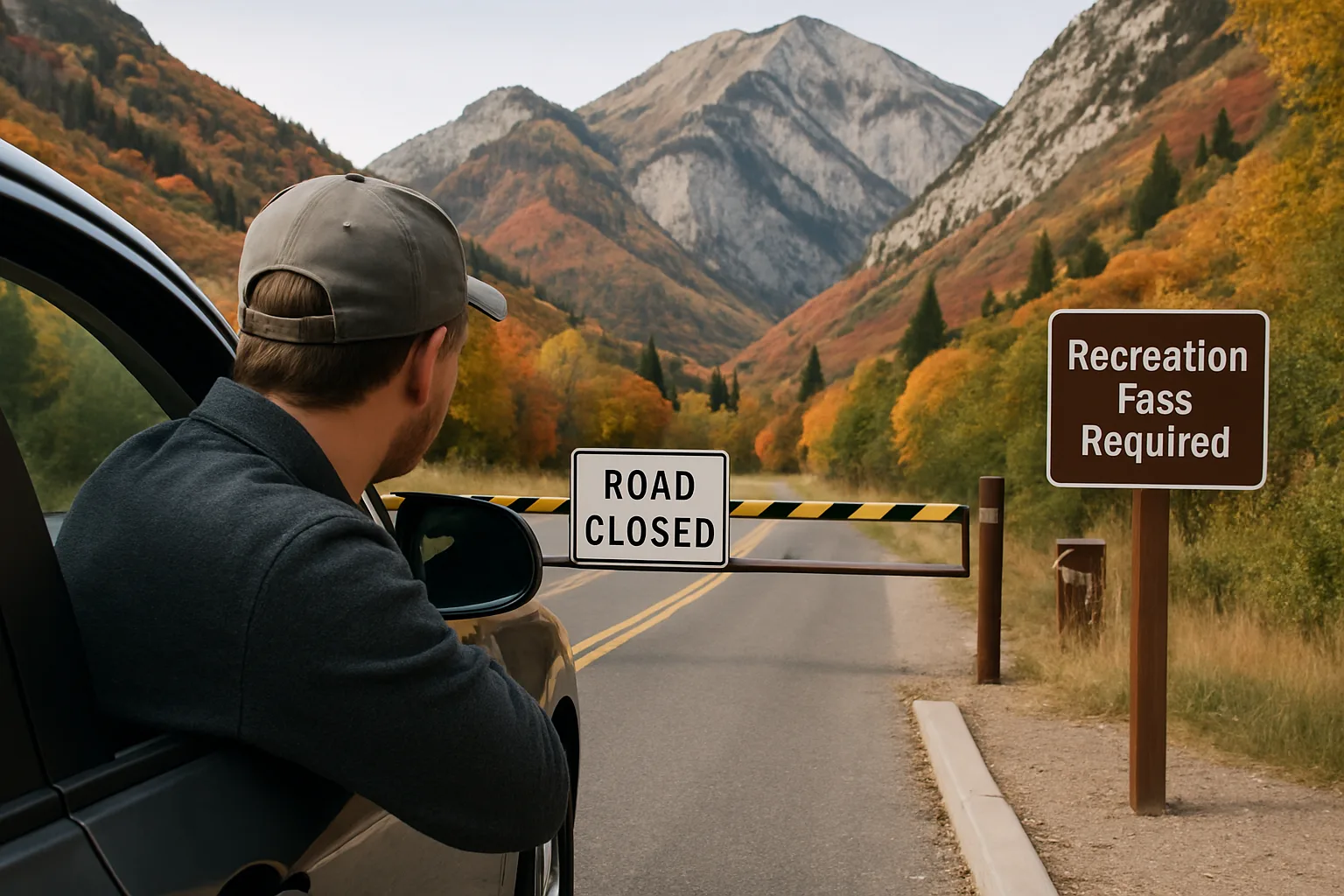
- Closure: Guardsman Pass is a UDOT seasonal road. It was the first state seasonal road to close for winter in 2025, gated at midnight on November 2. UDOT has also closed the pass during fall-color weekends ahead of wet, snowy weather, so a planned trip can end at the gate even in October.
- Pine Canyon caveat: UDOT notes that the Pine Canyon segment between Midway and Park City is not a state route, so its status comes from the local maintaining agency.
- Tires: Big and Little Cottonwood canyons operate under Utah's traction law. When the beacons at the canyon mouths are flashing, vehicles need at least 5/32-inch tread, and requirements can be set up to 24 hours before a storm. The full rules are on UDOT's Cottonwood Canyons traction law page.
SR-190 is not on UDOT's seasonal-closure list below the pass, so the drive up to Brighton remains possible after Guardsman Pass closes, weather and traction rules permitting.
Summit and Wasatch Counties: Mirror Lake Highway
Mirror Lake Highway (SR-150) starts in Kamas and runs 42 miles to the Wyoming border. It tops out at 10,715 feet at Bald Mountain Pass, which the Utah Office of Tourism describes as the highest paved road in the state.
For a family in Park City, Heber City or Kamas, this is the easy half-day drive. Salt Lake and Utah County residents can reach it too, but it pairs better with a full day in the Uintas.
- Fee: Through travel is free. A recreation pass is required at Forest Service developed sites along the byway; the Forest Service lists $10 for three days, $20 for seven days and $60 annually, and America the Beautiful passes are accepted.
- Closure: UDOT closes the highway at the Soapstone gate for winter. Timing swings widely with snow. In 2025 the gate did not close until December 19 because the road stayed passable.
Weber County: Ogden River Scenic Byway
Residents of Ogden can be in the canyon within minutes of downtown. The Ogden River Scenic Byway (SR-39) heads east through Ogden Canyon, passes the towns of Huntsville and Eden, and continues 44 miles to the Monte Cristo area at the edge of the national forest. A nine-mile side trip on Trappers Loop Road adds views of the northern Wasatch.
The lower canyon is open all year. The upper Monte Cristo section of SR-39 is on UDOT's seasonal-closure list, so the full route is only available until winter weather arrives.
Cache County: Logan Canyon
The Logan Canyon National Scenic Byway (US-89) begins in Logan and runs 41 miles along the Logan River before climbing to a 7,800-foot overlook above Bear Lake and dropping into Garden City. The Utah Office of Tourism estimates about an hour each way. Maples and aspens line limestone cliffs, and the Tony Grove Lake turnoff is a popular stop.
US-89 is a year-round highway, so Logan Canyon does not have a seasonal gate on the main road. For Cache Valley residents, that makes it the most reliable late-season option, and KSL has pointed to it as a less crowded alternative to the Alpine Loop and Big Cottonwood.
Quick Reference: Gates and Fees
- Alpine Loop (SR-92): state seasonal road; typically closes around November 1; pass needed only to park at developed sites.
- Guardsman Pass (SR-190/SR-224): state seasonal road; closed November 2 in 2025; can close early for storms.
- Mirror Lake Highway (SR-150): state seasonal road; closing date varies with snow; pass needed at developed sites.
- Monte Cristo (SR-39): upper section is a state seasonal road.
- Nebo Loop: Forest Service road, not covered by UDOT announcements; closes for winter from late October.
- Logan Canyon (US-89) and Big Cottonwood (SR-190 below Guardsman): open year-round, subject to storms and the traction law.
UDOT posts the live status of every state seasonal road on its seasonal roads page, which is worth checking the morning of any late-October trip.
What This Means When Choosing Where to Live
Canyon access is one of the quieter factors in a Wasatch Front home search, and fall shows it clearly. A few patterns stand out:
- Proximity cuts both ways. Homes near a canyon mouth get the shortest trip, but they also sit along the route that thousands of visitors use on peak weekends. On peak fall weekends, UDOT has had to manage heavy traffic in Big Cottonwood Canyon and has closed Guardsman Pass ahead of storms.
- Seasonal gates shape the calendar. In Utah County and the Cottonwood canyons, the best-known drives close by early November. In Cache Valley and Ogden Valley, the main canyon roads stay open, which extends the season for residents there.
- Winter tires become a practical question. East bench households that use Big or Little Cottonwood regularly should plan for traction-law tires, because the rules can apply on early-season storms in October.
- Pass costs are small but recurring. A household that stops often in American Fork Canyon or along Mirror Lake Highway may find the annual pass, or an America the Beautiful pass, cheaper than repeated three-day passes.
For buyers comparing neighborhoods along the Wasatch Front, current listings and city-by-city market data are available at Best Utah Real Estate.
A Simple Plan for a Peak-Color Weekend
- Start high in late September, then work down. High routes such as Guardsman Pass usually turn before the lower canyons.
- Check the gate the same morning. UDOT status for state roads; the Forest Service for the Nebo Loop.
- Leave early or go midweek. Parking enforcement on the Alpine Loop means circling for a spot is not an option.
- Carry a pass if stopping. Developed sites in American Fork Canyon and along Mirror Lake Highway require one.
- Watch the forecast. A cold front can both end the color and close a high pass within a day.
Frequently asked questions
When do fall colors peak along the Wasatch Front?
Color starts at the highest elevations around mid-September and wraps up across most of the state in early October. Canyon maples generally peak first, in mid- to late September, while aspens at higher elevations usually peak in early to mid-October. Exact timing shifts with each year's moisture and weather.
Is there a fee to drive the Alpine Loop in American Fork Canyon?
Driving straight through the Alpine Loop (SR-92) is free. A recreation pass is required only when parking at developed sites such as picnic areas and trailheads. The Forest Service lists $10 for three days, $20 for seven days and $60 for an annual pass, and America the Beautiful passes are honored.
When does the Alpine Loop close for winter?
The Forest Service says SR-92 typically closes around November 1, and UDOT scheduled the 2025 closure for November 3. The exact date depends on snow, so the UDOT seasonal roads page is the best place to confirm the current status before driving.
Can trailers or RVs drive the Alpine Loop?
No. Trailers are prohibited on the Alpine Loop because of steep grades and narrow, blind curves. Drivers with trailers can choose Provo Canyon (US-189) or Logan Canyon (US-89), which are year-round highways.
Which fall drives stay open after the seasonal gates close?
Logan Canyon (US-89), lower Ogden Canyon on SR-39 and Big Cottonwood Canyon below Guardsman Pass are not on UDOT's seasonal-closure list. They remain subject to storms, and Big and Little Cottonwood canyons are covered by Utah's traction law when the canyon beacons are flashing.
Does UDOT announce closures for the Nebo Loop?
No. The Nebo Loop between Payson and Nephi is not a state highway, so it is not part of UDOT's seasonal-road announcements. Nephi City describes the road as closing for winter from late October, and the Forest Service's Spanish Fork Ranger District handles current gate status.
Keep reading
More from the blog

Wasatch Front Halloween 2026: Haunts, Corn Mazes and Witch Displays by Scare Level

Essential Property Management Maintenance Tools for Landlords
Common Roofing Problems After Heavy Rain and Prevention