Santa Clara River Reserve Petroglyphs: Hikes, Trailheads and Tips
See petroglyphs near St. George at the Santa Clara River Reserve: trailheads, the Tempi'po'op Trail, rules for visiting rock art and the best season.
Some of the best rock art in Southern Utah is a few minutes from the homes of Santa Clara and Ivins. The Santa Clara River Reserve, managed by the Bureau of Land Management, protects thousands of acres of red rock, sandy washes and a cottonwood-lined stretch of the Santa Clara River, along with dozens of petroglyph panels left by people who lived here long before the town did. Here's where to see them, how to visit respectfully, and what else is nearby. For homes close to the trails, see Santa Clara homes for sale.
The Santa Clara River Reserve
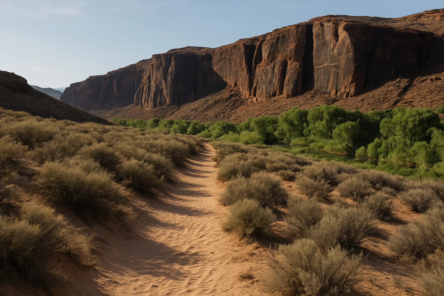
The reserve sits on the edge of Santa Clara, between the city and Ivins, about 6,500 acres of it managed by the BLM. Its trails are open to hikers, equestrians and mountain bikers, and the area is divided into management zones marked on trail signs, each with its own rules. Visitors come for the rock art, the desert views and the shady river corridor.
Where the Petroglyphs Are
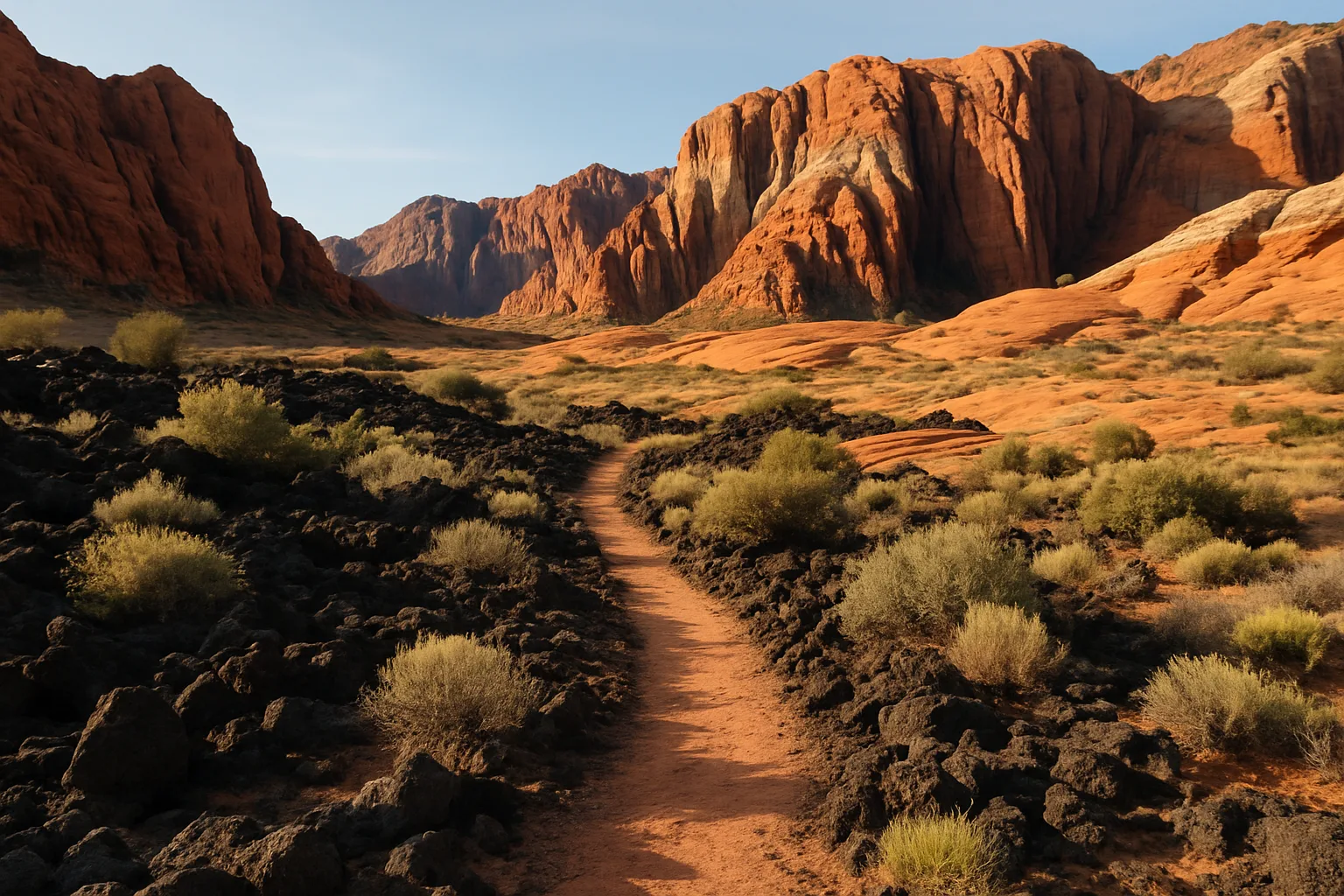
The best-known rock art is along the cliffs of Land Hill, where the Tempi'po'op Trail passes petroglyph panels for more than two miles. More than 90 rock imagery panels have been recorded in the reserve, with figures, spirals and animals pecked into dark desert varnish on the sandstone.
The reserve has several trailheads:
- Anasazi Valley: on the north side off Old Highway 91, the shortest approach to the petroglyphs, about a mile's walk from the trailhead.
- Tukupetsi: one of the main access points, off Santa Clara Drive.
- Cove Wash: on the south side, reached from Santa Clara Drive, with oversize-vehicle parking.
Trail lengths vary by route, from short walks to longer loops, so download a map before heading out. Current information is on the BLM's Santa Clara River Reserve page.
How to Visit Respectfully
- Look, don't touch. Oils from hands damage rock art. Never chalk, trace or carve.
- Leave artifacts in place. Removing artifacts from public land is illegal.
- Stay on trails to protect fragile desert soil and plant life.
- Follow zone rules, including where bikes, horses and camping are allowed.
When to Go
October through April is the most comfortable season. Summer hikes should start at sunrise, since there's little shade on the cliff trails. Morning and late-afternoon light also shows the petroglyphs best. Carry plenty of water in any season.
More Rock Art Nearby
Snow Canyon State Park, just north of Ivins, has its own petroglyph hike: the Gila Trail, about 8 miles round trip. The park's lava tubes, slot canyons and paved paths make it easy to fill a day. For more ideas, see things to do in Santa Clara and this guide to Ivins parks and trails.
Living Near the Reserve
Neighborhoods in Santa Clara and Ivins put the reserve, Snow Canyon and Tuacahn within minutes. For more on the town, read the pros and cons of living in Santa Clara.
Bottom Line
The Santa Clara River Reserve offers easy-to-reach petroglyphs and quiet desert trails right at the edge of town. Go in the cooler months, bring water, and leave the rock art exactly as you found it. For help finding a home on the west side of the valley, contact Best Utah Real Estate.
Posted by Kristopher Larson
Frequently asked questions
Where can I see petroglyphs near St. George, Utah?
The Santa Clara River Reserve, between Santa Clara and Ivins, has more than 90 recorded rock imagery panels, with the best-known art along the Tempi'po'op Trail on Land Hill. Snow Canyon State Park's Gila Trail also leads to petroglyphs.
Which trailhead is closest to the Santa Clara petroglyphs?
The Anasazi Valley trailhead on the north side, off Old Highway 91, is the shortest approach, about a mile's walk to the petroglyphs. Tukupetsi and Cove Wash are other main access points.
Who manages the Santa Clara River Reserve?
The Bureau of Land Management manages about 6,500 acres of the reserve. It's divided into zones marked on trail signs, each with its own rules for uses such as biking, horses and camping.
Can you touch the petroglyphs?
No. Oils from hands damage rock art. Don't touch, chalk or trace petroglyphs, and leave any artifacts in place, since removing them from public land is illegal.
When is the best time to hike the Santa Clara River Reserve?
October through April is the most comfortable season. In summer, start at sunrise, since the cliff trails have little shade, and carry plenty of water.
Are bikes and horses allowed in the Santa Clara River Reserve?
Trails are open to hikers, equestrians and mountain bikers, but rules vary by management zone. Check the trail signs and the BLM's reserve page before you go.
Santa Clara, Utah housing market
A quick read on what homes are doing in Santa Clara right now — pulled live from the MLS.
Keep reading
More from the blog
Pros and Cons of Living in Santa Clara, Utah
Things to Do in Santa Clara, Utah
Toquerville Falls, Utah: Directions, 4x4 Road Tips and When to Go