Heber Valley Bypass: The Route, the Delays and What Owners and Buyers Should Check
UDOT's preferred Heber Valley bypass would cross the North Fields and run west of Heber City, but the final decision has slipped to spring 2027 and nothing is funded. Here is where the route would go, what is still moving, and what owners and buyers near it should check.
A driver heading south through Heber City on US-40 today needs about 11 minutes to get from River Road to US-189 near Charleston. The Utah Department of Transportation (UDOT) projects that by 2050 the same trip will take more than 23 minutes, with the afternoon line of southbound cars at 500 North stretching 3.2 miles. That forecast is the case for the Heber Valley Corridor, known locally as the bypass.
In January 2026 UDOT named the route it prefers. By November 2026 the decision is still not final, the route is being adjusted in three places, and no money has been set aside to build it. For anyone who owns or is shopping for a home in Heber City, Midway, Daniel or Charleston, the useful questions are where the road would go, how firm that line is, and what to check before signing.
Why UDOT Wants a Road Around Main Street
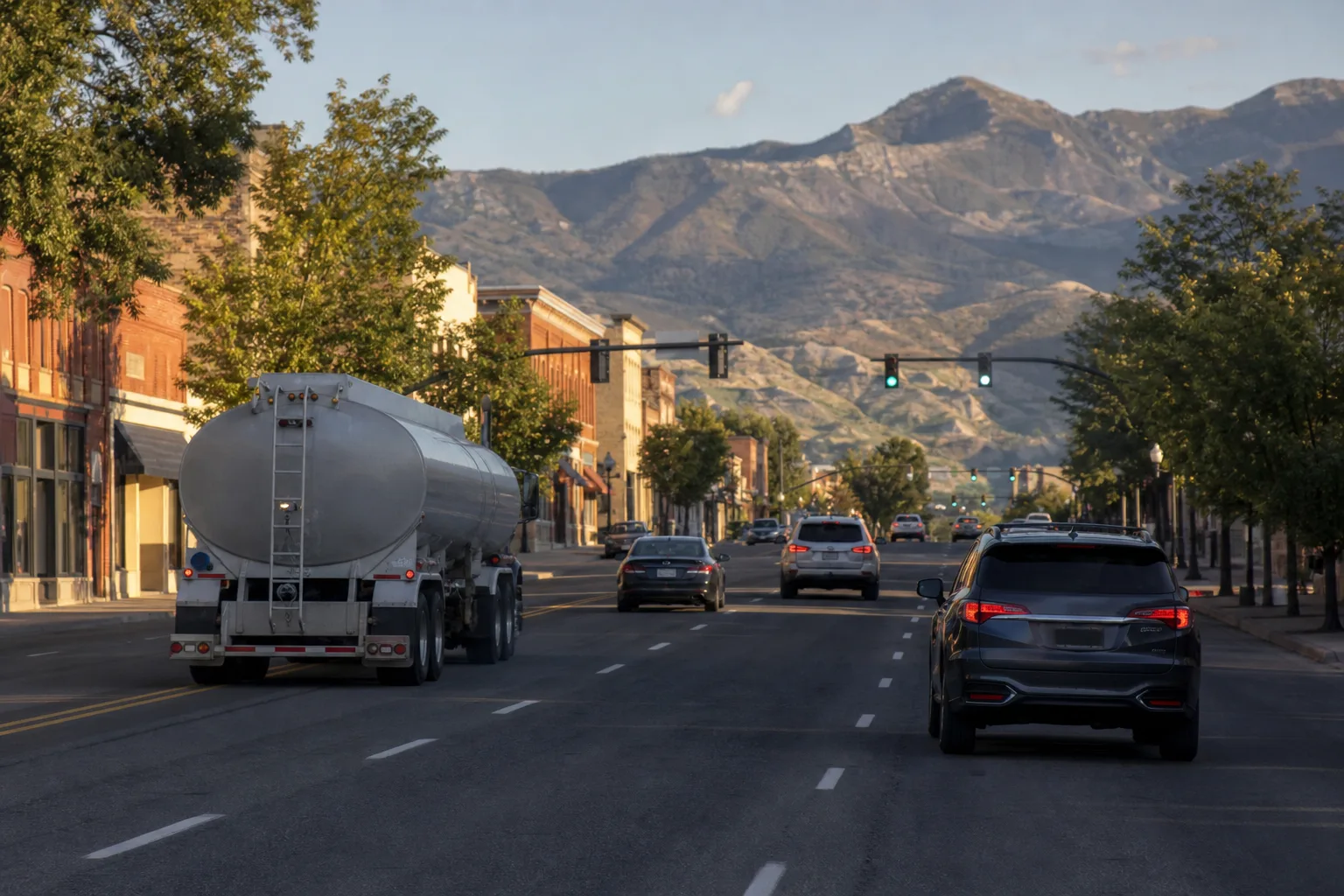
Heber City's Main Street is US-40, a four-lane highway on the national truck network. It carries local trips, traffic to and from Provo Canyon on US-189, and oil tankers. UDOT counts 600 to 700 tanker trucks through town each day, KPCW reported in January 2026. Because the street is part of the national network, neither the city nor the state can ban trucks from it.
UDOT's draft environmental impact statement (EIS) gives the project three goals: keep regional and local traffic moving on US-40 through 2050, add a route for walking and biking, and let Heber City rebuild its historic downtown with wider sidewalks and bike lanes, which the highway's capacity needs currently prevent.
The Options UDOT Studied
The study began in 2020. Earlier rounds eliminated widening Main Street, a pair of one-way streets, reversible lanes, a tunnel, and three eastern bypass concepts. The eastern routes failed because more traffic, trucks included, comes from the US-189 side of the valley than from Daniels Canyon. Two finalists remained, and they are identical south of 900 North:
| Measure (UDOT draft EIS, January 2026) | Alternative A | Alternative B (preferred) |
|---|---|---|
| North half of the route | Rebuilds existing US-40 as a free-flow highway to 900 North | New 65-mph road across the North Fields from Potter Lane to 900 North |
| River Road to US-189 in 2050 | 7 minutes 25 seconds | 6 minutes 15 seconds |
| Southbound backup at 500 North in 2050 | 3,500 feet | 700 feet |
| Wetlands, streams, canals and ditches affected | 23 acres | 54 acres |
| Federally protected farmland affected | 179 acres | 223 acres |
| Home and business relocations | 27 (12 homes, 15 businesses) | 8 (6 homes, 2 businesses) |
| Preliminary cost estimate | $711.9 million | $760.5 million |
UDOT picked Alternative B because it moves the most traffic off Main Street, displaces fewer homes and businesses, and leaves north US-40 open as a second route. Its cost is the wetlands and farmland. KPCW noted that the estimate for Alternative B was $584 million in March 2025, so the figure rose by more than $175 million in under a year.
Where the Preferred Route Would Run
From north to south, the draft version of Alternative B has five pieces:
- North US-40, River Road (SR-32) to Potter Lane. The existing highway becomes a 55-mph free-flow road with a new interchange at River Road and frontage roads for driveways and side streets. The right-of-way would be 230 to 325 feet wide.
- North Fields Extension. At Potter Lane the new highway leaves US-40 and runs across the fields with two lanes each way and a 50-foot median, in a 250-foot corridor. It bridges over Potter Lane, 600 West, 1800 North and 1200 North with no exits. Existing US-40 between Potter Lane and 900 North stays in place as a 45-mph street with signals.
- 900 North connector. An east-west link ties the new highway back to US-40 at a signal at 900 North.
- Western Corridor. A 65-mph highway continues south on the west side of town, through the fields where the local sewer district farms alfalfa with treated wastewater, with interchanges at SR-113 (Midway Lane) and 1300 South. It crosses over 650 South, 1200 South and the Heber Valley Railroad, then ramps onto US-189 toward Charleston and Provo Canyon.
- 1300 South. A 45-mph leg runs east to rejoin US-40 south of downtown. Through traffic rides on two raised lanes that pass over 300 West, US-189 and Daniels Road, with one-way frontage roads at ground level.
A 12-foot paved trail would follow the whole corridor. UDOT has also said that if Alternative B is built, it will allow no access to the highway in the North Fields other than the 900 North connection, and that it will look to the North Fields first for wetland replacement land.
Timeline: 2020 to Now
| Date | What happened |
|---|---|
| 2006 to 2007 | Wasatch County and Heber City pass resolutions to preserve a western corridor, including the 1300 South link |
| 2020 | UDOT begins the current environmental study |
| Spring 2025 | UDOT releases two refined options, Alternatives A and B |
| Jan. 7, 2026 | Draft EIS published. Alternative B named as preferred |
| Jan. 9 to March 9, 2026 | 60-day comment period draws more than 700 comments. Public hearing held Jan. 28 at Wasatch High School |
| March 2026 | Joint letter from Wasatch County, Midway, Charleston and some Heber City leaders asks UDOT to move the North Fields segment east |
| May 19, 2026 | UDOT tells the Heber City Council it is studying three revisions |
| Aug. 4, 2026 | UDOT says the final EIS and Record of Decision will slip from late 2026 to spring 2027 |
| Spring 2027 (expected) | Final EIS and Record of Decision |
What the 700 Comments Changed
According to KPCW's review of the published comments, residents raised groundwater and aquifer contamination from highway runoff, the loss of farmland and wetlands, and the highway's position near the new Deer Creek High School. Others wrote that the valley has waited too long.
Local governments landed in different places:
- Wasatch County and Midway. Both councils voted unanimously to sign a 36-page letter written by a county council member that asks UDOT to shift the North Fields segment east, closer to existing US-40, to protect the aquifer, farmland and open space. Charleston's mayor also signed, KPCW reported.
- Heber City. The mayor and three council members signed the joint letter. The city engineer warned the council that it would delay a project the city "desperately needs." In a separate Feb. 3 letter, the mayor and all five council members said they would have preferred the 1300 South leg farther south, away from existing homes and businesses.
- UDOT. The agency is not reconsidering Alternative A. Its project manager described the changes under study as design refinements.
The three revisions UDOT shared in May 2026 are a shift of the North Fields segment slightly east, a shift of the 1300 South alignment farther south, and a sidewalk, signalized crossings and bike lane through the SR-113 interchange. UDOT asked the Utah Transportation Commission for about $1 million for the added surveys, design and traffic analysis.
Funding and Construction: What Is Known
Nothing is funded beyond the study. The draft EIS states that no funding is allocated, and that after a decision the steps are identifying funding, final design, right-of-way acquisition and construction. If state money is used, the project competes with others in the statewide prioritization process. UDOT has told local reporters that state transportation funds are programmed through 2031, which puts construction at least six years out, and the draft EIS says the highway could be built in phases if full funding does not arrive at once.
A Home Near the Corridor vs. a Home Near Main Street
Near Main Street and downtown
These blocks stand to gain. UDOT projects the bypass would be 42% to 50% faster than staying on Main Street, enough to pull most through trucks off it, and the 2050 backup at 500 North would shrink from 3.2 miles to about 700 feet. Heber City could then seek control of the street and add crosswalks, medians and lower speeds.
Near the new highway
Homes along the North Fields edge, the west side of town, and 1300 South would trade a quiet edge for a highway. UDOT modeled noise above its criteria at 273 residences under Alternative B, a count that includes planned homes not yet built. It evaluated 24 possible noise walls and found three worth sending to a vote of benefited owners, at 383, 853 and 1,499 feet long. The agency states that this finding "is not a commitment to build a barrier," and that walls for developments without final approval will be dropped.
How Right-of-Way Acquisition Works
The draft design for Alternative B touches 156 parcels: 32 full acquisitions covering 121 acres and 124 partial acquisitions covering 207 acres. None of that buying has started. UDOT's property acquisition brochure, posted with the project documents, lays out the process:
- Once design is set, a right-of-way agent contacts the owner and explains whether all or part of the parcel is needed.
- An independent appraiser sets fair market value. The owner may attend the inspection and receives a copy of the approved appraisal.
- The owner is entitled to full payment before the agency takes title, and displaced owners and tenants may qualify for separate relocation payments, including moving costs.
- With a partial acquisition, the agency repairs driveways, fences, irrigation and landscaping or pays a cost-to-cure amount.
- Owners may ask Utah's Office of the Property Rights Ombudsman for help at any point.
One line in that brochure matters most to neighbors: for property outside the construction area, indirect effects such as noise, views and added traffic are not compensated.
What to Check Before Buying Near the Route
- Find the parcel on UDOT's maps. The Draft EIS page has scroll plots for each segment plus property maps and impact tables (Appendices 3C and 3D).
- Treat the North Fields and 1300 South lines as movable. Both are under study. A lot outside the January line could be nearer the revised one, especially east toward US-40 or south of 1300 South.
- In the North Fields, ask whether the land is in an agriculture protection area or under a conservation easement, and remember there would be no on-ramps between Potter Lane and SR-113 apart from 900 North. Buyers of Heber City homes with acreage should also ask how a partial taking would affect irrigation and access.
- Along US-189 and toward Charleston, locate the ramps and the SR-113 interchange relative to the lot. An interchange a mile away shortens a commute. Ramps behind the fence do not.
- At the south end near Daniel, look at the raised lanes over US-189 and Daniels Road, and ask the seller in writing whether any notice from UDOT has been received.
- Price the home on today's traffic. The same test is applied in a review of Utah towns with funded projects.
Current Market Numbers
| City | Median sale price | Median days on market | Sale-to-list ratio | Active listings |
|---|---|---|---|---|
| Heber City | $917,329 | 81 days | 96.9% | 369 |
| Midway | $1,100,000 | 79 days | 94.3% | 89 |
These figures update monthly from MLS data. Much of the traffic on north US-40 is tied to Park City, Kamas and the Jordanelle area, covered in what to check before buying near Jordanelle Reservoir and in a comparison of Utah ski towns and their drive times.
What Remains Undecided
- The final line through the North Fields and along 1300 South.
- Whether the Record of Decision arrives in spring 2027 as now expected.
- Who pays, when, and whether the road is built in phases.
- Which noise walls survive final design and the owner vote.
- Whether the new road is designated US-40 and Main Street is handed to Heber City. UDOT says that decision is outside the EIS.
UDOT posts schedule updates on the Heber Valley Corridor project site. Listings in the valley, with a map search for checking a home against the route, are on Best Utah Real Estate.
Sources: Utah Department of Transportation, Heber Valley Corridor Draft EIS summary, fact sheets, Noise Technical Report and property acquisition brochure (January 2026) and project website; KPCW (Jan. 7, Jan. 22, March 6, April 7, May 21 and Aug. 6, 2026); TownLift (Jan. 8, March 26, May 22, July 10 and Aug. 7, 2026).
Posted by Kristopher Larson
Frequently asked questions
What route did UDOT choose for the Heber Valley bypass?
In its January 2026 draft environmental impact statement, UDOT named Alternative B as its preferred route. It leaves US-40 at Potter Lane, crosses the North Fields, runs down the west side of Heber City with interchanges at SR-113 and 1300 South, and reconnects to US-189 and to US-40 south of downtown. The choice is not final until a Record of Decision is issued.
When will UDOT make a final decision on the Heber Valley Corridor?
UDOT now expects to publish the final environmental impact statement and Record of Decision in spring 2027. The agency had earlier aimed for 2026, then pushed the date back in August 2026 to study three possible changes to the route.
How much would the Heber Valley bypass cost, and is it funded?
UDOT's draft study puts the preferred route at a preliminary $760.5 million, compared with $711.9 million for the other finalist. No construction funding has been identified. UDOT has said state transportation money is programmed through 2031, so construction is at least six years away.
How many homes would the Heber Valley bypass displace?
The draft design for the preferred route would relocate six residences and two businesses, compared with 12 residences and 15 businesses for the alternative that follows existing US-40. It also lists 32 full parcel acquisitions and 124 partial acquisitions. Those numbers could change as UDOT studies shifting parts of the route.
Will homes near the Heber Valley bypass get noise walls?
UDOT evaluated 24 possible noise walls and found three that met its policy and could go to a vote of the owners who would benefit. The agency says that finding is not a commitment to build a wall, and a final decision waits for final design. Owners outside the construction area are not compensated for noise.
What changes is UDOT considering to the bypass route?
UDOT told the Heber City Council in May 2026 that it is studying three revisions: moving the North Fields segment slightly east toward existing US-40, moving the 1300 South alignment farther south, and adding a sidewalk, pedestrian crossings and a bike lane at the SR-113 interchange. None has been adopted yet.
Keep reading
More from the blog

Pros and Cons of living in Heber City, Utah
St. George's I-15 Widening Starts in 2026: Every Road Project by Status and What Buyers Should Check
Northwest Utah County's New Freeways in 2026: What Is Open, What Is Coming and What Buyers Should Check